Constructed wetlands
Farm-scale wetland systems are used to retain nutrients, improve water quality, and create a testing ground for practical restoration design.
Central Baltic cooperation for water resilience
The Latvian BaltCOP team develops practical wetland solutions, tests phosphorus removal measures, and builds planning tools that help reduce nutrient runoff before it reaches the Baltic Sea.
About the project
Healthy rivers and wetlands can capture nutrients before they reach the Baltic Sea, but many of these systems have been drained, straightened, or degraded. BaltCOP tests a catchment-scale approach in Estonia, Latvia, and Sweden to speed up restoration and improve how water measures are planned.
In Latvia, the team works at the intersection of field research, engineering, and decision support. The goal is to turn practical pilot experience into methods that farmers, planners, and catchment officers can use in real landscapes.
What we do
The Latvian work package combines applied restoration, monitoring, and communication into one practical project story.
Farm-scale wetland systems are used to retain nutrients, improve water quality, and create a testing ground for practical restoration design.
P-filters are evaluated as a polishing step to capture residual phosphorus in runoff and mixed wastewater conditions.
Floating treatment systems are explored as a flexible way to improve nutrient uptake and habitat value in existing ponds and wetland cells.
Frequent sampling, event-based measurements, and data processing help quantify nutrient loads and support evidence-based planning.
Pilot site
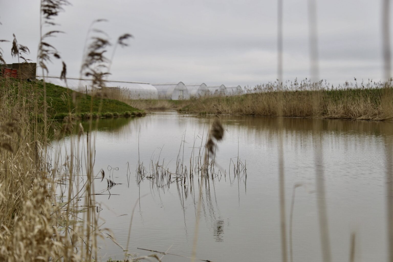
The main Latvian demonstration site is the Mežacīruļi constructed wetland, where the team combines detailed monitoring with engineering solutions for nutrient retention.
This site helps connect local performance data with larger planning questions, making it possible to test not just whether a solution works, but where it can have the greatest effect across a catchment.
Interactive map
This section displays mapped wetland locations directly inside the project page. Clicking a marker reveals the corresponding record details below the map.
| Address | Construction | Status |
|---|---|---|
| Select a marker on the map to view its details. | ||
Digital tool
One of the project outcomes is a digital decision-support tool for identifying where wetlands and related measures can deliver the strongest nutrient reduction impact.
The tool is intended to combine monitoring-based performance parameters with spatial layers such as land use, drainage networks, soils, and hydrogeology.
Stakeholder engagement
BaltCOP is built through collaboration with landowners, researchers, NGOs, and practitioners. The Latvian activities include site visits, discussion of monitoring results, and public-facing communication.
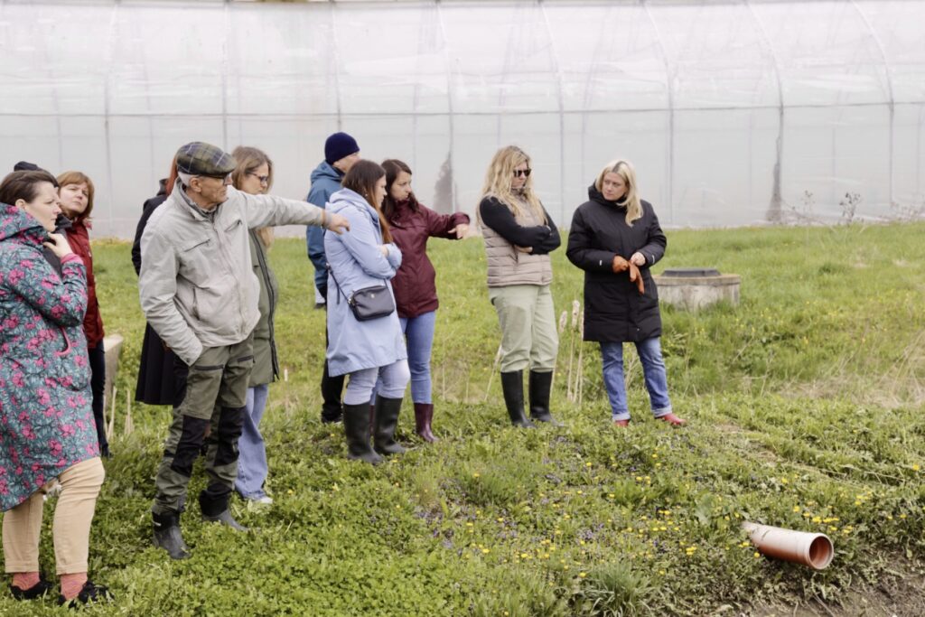
Site visits help connect technical findings with the people who will apply, support, or benefit from restoration measures.
Research team
The work in Latvia brings together expertise in wetlands, hydrology, monitoring, engineering, and digital planning.
Environmental scientist focusing on wetlands, nutrient dynamics, and sustainable agricultural practices.
Researcher specialising in hydrology, water quality monitoring, and spatial analysis.
Engineer and data specialist working on wetland design optimisation, monitoring systems, and digital tools.